
Basic Info.
Model NO.
SOUTH V2/S1
Weight
0.8kg
OS
Linux
Storage
8GB
GPS
L1c/a,L2p,L2c,L5,L1c*
Glonass
G1,G2,G3*
Bds
B11 B21 B31
Galileo
EL,E5b,E5a,E5 Altboc*,E6c*
Transport Package
131mm (Diameter)*80mm (Height)
Specification
Carton
Trademark
South
Origin
China
HS Code
8526919090
Production Capacity
50000 Pieces/Year
Product Description
Product Description

Product parameters

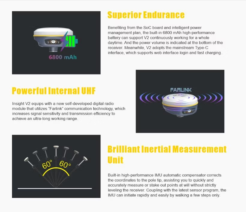
Fast and Precise AR Stakeout
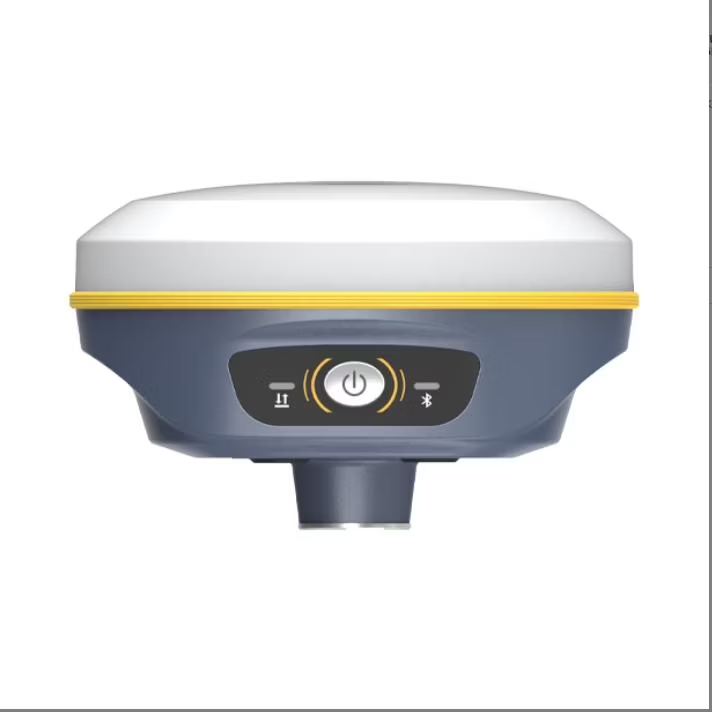
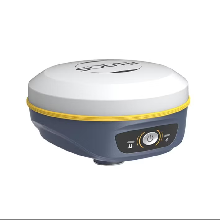
SOUTH new palm-size RTK receiver-Insight V2, seamlessly
integrated with GNSS, IMU sensor and a camera, bringing RTK
surveying and stakeout into a new era.
Based on integrated technology of GNSS positioning, IMU
compensation, imaging, and calculating the real-time receiver's
altitude. Insight V2 provides live visual data that results in the
stakeout target accurately displayed on the screen hence precise
and distinct naviaation to the targets: moreover. without levelina
bubble


Product parameters
| eatures | Channels | 1598 |
| GPS | L1C/A, L2C, L2P, L5 | |
| GLONASS | L1C/A, L1P, L2C/A, L2P | |
| BDS | B1, B2, B3 | |
| GALILEO | E1, E5A, E5B, E5AltBOC*, E6 | |
| SBAS | L1C/A, L5 (Just for the satellites supporting L5) | |
| IRNSS | L5 | |
| QZSS | L1C/A, L2C, L5 | |
| L-Band | BDS-PPP, GALILEO-HAS* | |
| Positioning output rate | 1Hz~20Hz | |
| Initialization time | < 10s | |
| Initialization reliability | > 99.99% | |
| Positioning Precision | Code Differential GNSS Positioning | Horizontal: 0.25 m + 1 ppm RMS Vertical: 0.50 m + 1 ppm RMS |
| GNSS Static | Horizontal: 2.5 mm + 0.5 ppm RMS Vertical: 5 mm + 0.5 ppm RMS | |
| Static (long observations) | Horizontal: 2.5mm+0.1 ppm RMS Vertical: 3mm+0.4 ppm RMS | |
| Real-Time Kinematic (Baseline<30km) | Horizontal: 8 mm + 1 ppm RMS Vertical: 15 mm + 1 ppm RMS | |
| RTK NTRIP | Horizontal: 8mm+0.5 ppm RMS Vertical: 15mm+0.5 ppm RMS | |
| PPK | Horizontal: 3mm+1 ppm RMS Vertical: 5mm+1 ppm RMS | |
| SBAS positioning | Typically < 5m 3DRMS | |
| RTK initialization time | < 10s | |
| IMU tilt compensation | Additional horizontal pole tip uncertainty typically less than 8mm + 0.7 mm/°tilt down to 30°, 1.8m pole height | |
| IMU tilt angle | 0° ~ 60° | |
| Hardware Performance | Dimension | 131mm(φ)× 80mm(H) |
| Weight | 800g (battery included) | |
| Material | Magnesium aluminum alloy shell | |
| Operating temperature | -45ºC ~ +75ºC | |
| Storage temperature | -55ºC ~ +85ºC | |
| Humidity | 100% Non-condensing | |
| Waterproof/Dustproof | IP68 standard, protected from long time immersion to depth of 2m IP68 standard, fully protected against blowing dust | |
| Shock/Vibration | Withstand 2 meters pole drop onto the cement ground naturally | |
| Power consumption | 4W | |
| Power supply | 6-28V DC, overvoltage protection | |
| Battery | Built-in 7.4 V 6800mAh rechargeable Lithium-ion battery | |
| Battery life | 16h (static mode) 10h (internal UHF base mode) 12h (rover mode) | |
| Camera | 2 MP | |
| FOV | 75° | |
| WIFI | Modem | 802.11 b/g standard |
| WIFI hotspot | Receiver broadcasts its hotspot form web UI accessing with any mobile terminals | |
| WIFI datalink | Receiver can transmit and receive correction data stream via WiFi datalink | |
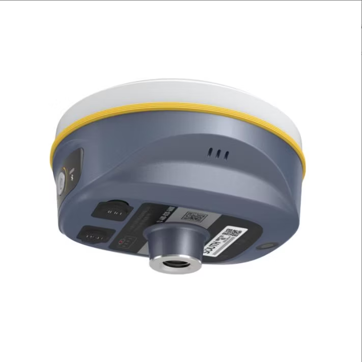
| Communications | I/O Port | UHF antenna interface Type-C |
| Internal UHF | 2W radio receiver and transmitter | |
| Frequency range | 410 - 470MHz | |
| Communication protocol | Farlink, Trimtalk450s, SOUTH, HUACE, ZHD | |
| Communication range | Typically 8km with Farlink protocol | |
| Bluetooth | BLEBluetooth 4.2 standard, Bluetooth 2.1 + EDR | |
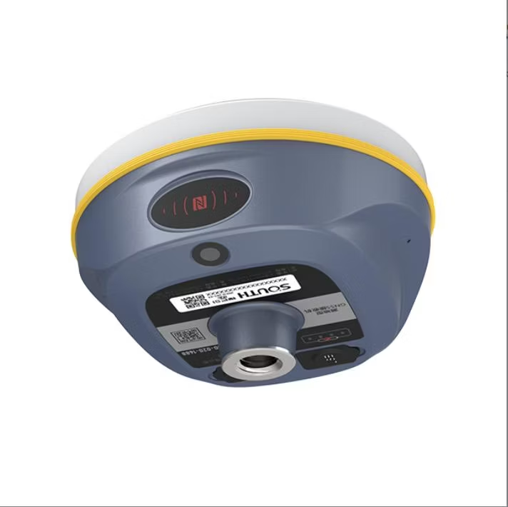
| NFC Communication | Realizing close range (shorter than 10cm) automatic pair between receiver and controller (controller requires NFC wireless communication module else) | |
| Data Storage/Transmission | Storage | 4GB SSD internal storage standard, extendable up to 32GB Automatic cycle storage (The earliest data files will be removed automatically while the memory is not enough) Support external USB storage |
| Data transmission | The customizable sample interval is up to 20Hz (Reserve) Plug and play mode of USB data transmission Supports FTP/HTTP data download | |
| Data format | Static data format: STH, Rinex2.01, Rinex3.02 and etc. Differential data format: RTCM 2.x, RTCM 3.x GPS output data format: NMEA 0183, PJK plane coordinate, Binary code Network model support: VRS, FKP, MAC, fully support NTRIP protocol | |
| Sensors | Electronic bubble | Controller software can display electronic bubble, checking leveling status of the carbon pole in real-time |
| IMU | Built-in IMU module, calibration-free and immune to magnetic interference | |
| Thermometer | Built-in thermometer sensor, adopting intelligent temperature control technology, monitoring and adjusting the receiver temperature | |
| User Interaction | Operating system | Linux |
| Buttons | Single button | |
| Indicators | 3 color LED indicators, and Battery indicator | |
| Web interaction | With the access of the internal web interface management via WiFi or USB connection, users are able to monitor the receiver status and change the configurations freely | |
| Voice guidance | The intelligent voice technology provides status and operation voice guidance, supports Chinese/English/Korean/Spanish/Portuguese/Russian/Turkish | |
| Secondary development | Provides secondary development package, and opens the OpenSIC observation data format and interaction interface definition | |
| Cloud service | The powerful cloud platform provides online services like remote manage, firmware update, online register and etc. |


